Megatrend · Smart City
Google Maps for the people who have to "run" a whole city
The real world is full of buildings, roads, pipes, and power lines — and no one fully knows where they all are or what condition they're in. This node is software that does one thing: it "turns the real world into data," then assembles it into a living 3D model of a building and of an entire city — so the people who design, build, and maintain infrastructure can work on a digital copy before they touch the real thing.
01What it is (three layers stacked together)
Think of a simple question that's actually very hard to answer: what pipes run under the street in front of your house, how deep are they buried, what year were they laid, and have they started to rot? The people who have to look after a whole city — the water utility, the power company, the roads department — usually don't have a precise answer, because the information is scattered across old paper drawings, files that don't match, and the heads of engineers who've long since retired.
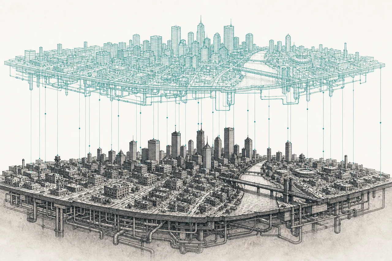
This node is the group of software that solves this problem head-on — it "turns the physical world into data" and assembles it into a model you can search and simulate. It's a sub-field under the megatrend Smart City / Autonomous Infrastructure, and it's the "layer that mirrors the physical world" of the smart city. It's made of three layers stacked on top of each other:
- GIS / Geospatial (digital map — "what is where"): a system that ties everything to its "location on Earth" — roads, land parcels, pipes, utility poles, everything has coordinates. This is the foundation layer. The leader is Esri (the ArcGIS software)
- BIM (a 3D model of built things — "the look and the details"): Building Information Modeling is a 3D model with the data of a building/bridge/road packed inside it — not just the shape, but the materials, systems, pipes, and wiring. Used from design, through construction, all the way to maintenance
- Urban Digital Twin (a digital twin of the whole city — "the whole living city"): takes the two layers above and combines them with live sensor data (traffic, water levels, energy) into a 3D model of the entire city that "updates to match the real thing" — used to simulate floods and traffic and to manage infrastructure
A digital model of the real thing where "the live data is connected to it" — the real thing changes and the model changes with it. What makes it different from an ordinary 3D model is that it's alive: you can use it to watch over things and to test the future · Importantly, this node is talking at the city and infrastructure level. The twin of factories and machines is a separate story, over at Industrial Metaverse & Digital Twin.
The easiest way to remember it: if Industrial Digital Twin is the "twin of machines in a factory," this node is the "twin of buildings, bridges, and the whole city" — a totally different scale, with a totally different buyer (governments and construction firms, not factories).
02Why it matters to the global economy
The first reason is purely about money: the world spends tens of trillions of dollars a year on construction and infrastructure, yet it's one of the slowest industries to "go digital." The work is still full of paper blueprints, rework, and enormously expensive mistakes. This kind of software is the tool that cuts that waste — and that makes it a market that grows fast and is hard to dislodge.
The numbers make it clear. The BIM market is expected to grow from ~$9.0 billion in 2025 to ~$15.4 billion in 2030 (CAGR ~11%), while the Geospatial Intelligence market grows from ~$37 billion to ~$63 billion over the same period — and the fastest-growing segment within it is "urban planning & digital twins" at ~12.8% a year.
The second reason is "the force of government mandate," which makes this demand stickier than an ordinary software market. Many countries have passed laws requiring public construction work to be delivered as BIM — the UK mandates "BIM Level 2" for all government projects, and Singapore requires BIM submission for buildings of ~5,000 sq m and up. When the law requires it, demand doesn't ride the economic cycle as much as software the customer can choose to buy on their own.
The third reason is "hard to rip out once it's in." When a design firm learns, company-wide, to work on one piece of software, trains thousands of people, and has all its old project models locked into that format, switching vendors is nearly impossible — which is exactly why leaders like Autodesk and Bentley have subscription revenue that renews year after year.
03How it works (three layers connecting in sequence)
The heart of this is three layers that build up on top of each other — each one answers a different question, and the upper layer leans on the lower one:
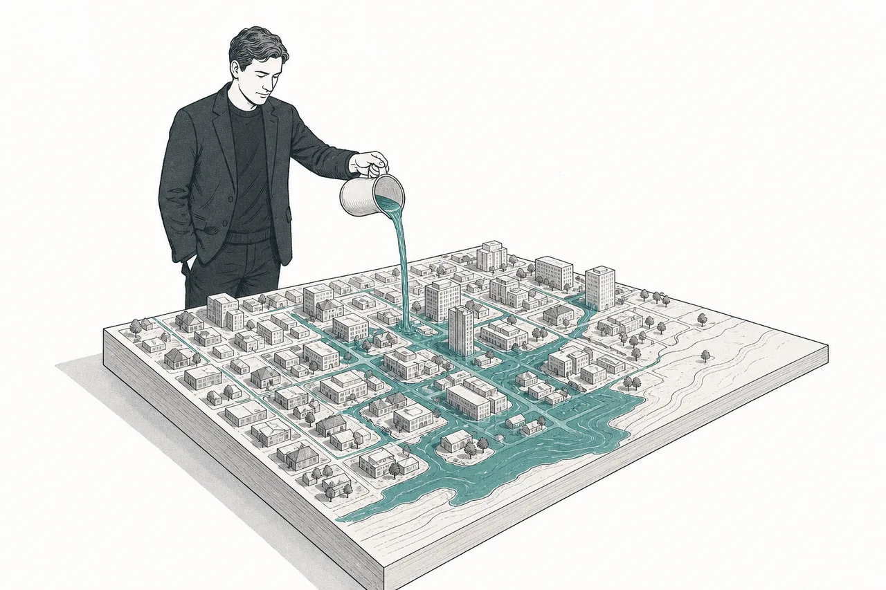
The heart of what makes the "twin of a whole city" different from a pretty 3D model is the colored arrow coming in from the right — live data from sensors. Once the twin knows the water level in the canal right now, where traffic is jammed, and what the electricity meter reads, it's no longer just a picture but a tool you can use to test the future — like "if 100mm of rain falls in 3 hours, which road floods first?" without waiting for a real flood.
An ordinary 3D model has only "shape." But BIM is a model where every single piece has data embedded in it — how thick is the concrete in this wall, how much pressure can this pipe take, what brand is this window. That lets the computer "understand" the building, not just "draw" it. And once it understands, it can count the materials, check for clashes between pipe systems, and estimate maintenance costs automatically.
04Where it sits in the Smart City
Within the megatrend Smart City, this node is the "layer that mirrors the physical world" — the base map and model that other nodes lay their data on top of. If the other nodes in a smart city are "systems that do work," this node is "the place where all the systems meet."
- Pairs with Intelligent Traffic & Tolling: the smart traffic system feeds congestion data into the twin, and the twin uses it to simulate the best way to change the lights / reroute traffic
- Builds on Resilient Buildings: the BIM model of a disaster-resistant building is the raw material fed into the city twin, to assess how well a whole district can withstand an earthquake / flood
- Splits roles with Industrial Digital Twin: the technique is similar, but the scale is clearly different — that side simulates "machines and production lines in a factory," this side simulates "buildings and whole cities." The buyers, the data, and the sales cycle are different worlds
And the part it can't do without — this node depends on other trends as its own infrastructure: it runs on Cloud & Digital Infrastructure (a city model is dozens of terabytes heavy and has to live in the cloud), it uses AI to read aerial imagery and convert it into 3D models automatically, and it needs Cybersecurity — because a "whole-city map that includes the pipes and power lines" is sensitive data that must never leak.
05Where it stands now
The 2026 picture splits clearly into two parts: the GIS and BIM layers are "grown up and making real money" already, while the "twin of the whole city" layer is still in the pilot phase — exciting, but not something every city has.
On the grown-up side, where money really flows: Autodesk (owner of Revit, the de facto BIM standard) made ~$2.94 billion in its architecture-engineering-construction (AECO) group in FY2025, up ~14%. And Bentley Systems, which focuses purely on infrastructure, has annual recurring revenue (ARR) reaching ~$1.4 billion, growing double digits steadily — a sign that this kind of software has become steady, repeatedly-renewing subscription revenue.
On the twin of the whole city side, the most concrete example is "Virtual Singapore" — a 3D model of all of Singapore, led by the Singapore Land Authority, pulling together over 50 terabytes of data, taking more than 5 years to build, with a budget of about US$73 million, and actually used to plan and test policy. Worldwide, it's estimated that more than 500 cities will plan systems like this by 2030.
What's new in 2025–2026 is AI and graphics stepping in to speed up the work. NVIDIA is pushing its Omniverse platform as the place to build city twins — Kaohsiung (Taiwan) used it with partners to analyze tens of thousands of CCTV feeds and understand events like floods and accidents in real time, while Dublin is experimenting with a twin built on Bentley's platform connected to Omniverse. But all of this is still a pilot project, not a system running a full city.
06The road ahead
The first direction is AI making "building the twin" far cheaper and faster. Today, turning a whole city into a 3D model is still expensive and slow (look at the Singapore numbers). But AI that reads satellite/drone imagery and builds the model automatically is pushing this cost down — which is the key that will unlock it for mid-sized cities, not just deep-pocketed city-states.
The second direction is mandates widening their reach. The EU is leaning toward pushing BIM standards in public work, and APAC is the region where the BIM market grows fastest (~16.5% a year) — thanks to a building rush and new regulations. The more countries that mandate it, the firmer the baseline demand.
The third direction is the fusion of the three layers. The lines between GIS, BIM, and the city twin are blurring away — the North American market even sees "the convergence of BIM and GIS into a single twin environment" as the main driver of growth. The long-term winner is likely whoever can control all three layers seamlessly, not whoever is great at just one.
07Challenges & risks
This story is beautiful, but we have to be honest about the hard side — there are three big ones.
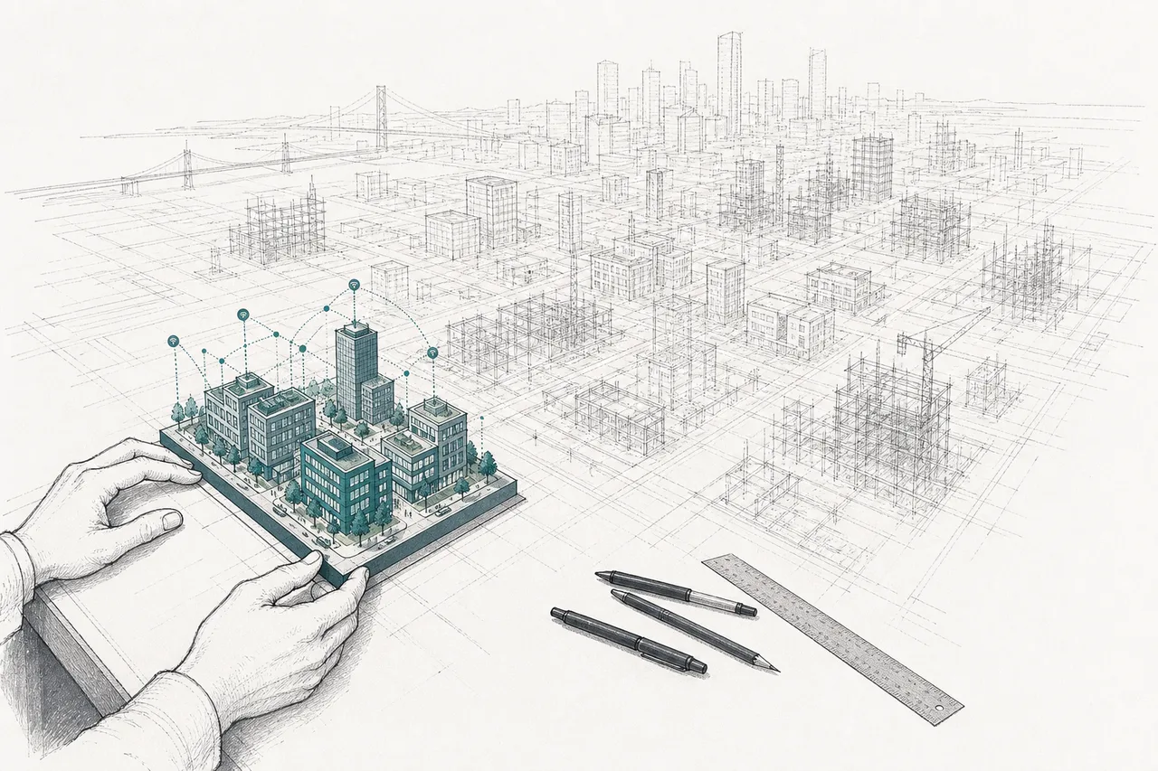
The first risk is that the "city twin" is still early and mixed with marketing. Many loudly announced projects are really a pilot in a limited area. Keeping a twin "live" across a whole city continuously is complex and resource-hungry — so much so that NVIDIA had to release a "blueprint" to help, because it's too hard for an ordinary city to do on its own. Anyone expecting every city to have a full twin within a few years is usually disappointed by the real pace.
The second risk is selling to government is slow, with long cycles. The main customers of this node are government agencies and infrastructure projects, whose budgets are tied to politics, whose procurement takes years, and whose continuity depends on leaders who can change — so the revenue is steady but grows more slowly than ordinary enterprise software.
The third risk is "garbage in, garbage out" and data that refuses to connect. A twin is only as good as the data fed into it, but real-world infrastructure data is usually old, incomplete, and in different formats from different agencies. "Getting the data to talk to each other" is the hardest and most expensive work — often harder than writing the software itself. And that's the reason many twin projects stall midway.
In short: this is "Google Maps for the people who have to run a whole city" — it starts with a map, continues with a 3D model of built things, and ends at a twin of the whole city that can test the future. The lower layers make money today, while the very top layer is still a dream taking shape — slow, but hard to reverse, because once the physical world has been turned into data, no one wants to go back to working on paper blueprints again.